
Walk a Broward Street by Address
A street search is a chain, not a single query. Broward County separates the parcel roll, map, recorded instruments, voter data, and municipal files among different custodians. Begin with the physical address because the Broward County Property Appraiser record search can turn it into a folio, the county term for a parcel identifier. Preserve the street direction and suffix. If an apartment or unit prevents a match, search the base address and inspect the unit results.
- Open the BCPA parcel card. Copy the situs address, owner as printed, folio, legal description, municipality, and most recent sale reference.
- View the same folio in the parcel map. Click the next parcel rather than guessing from consecutive house numbers.
- Use the owner name or sale instrument in Official Records. Confirm the legal description before joining a deed to the parcel.
- Request voter data by residence street only when registration evidence is relevant, and keep protected or absent rows blank.
- For an older listed occupant, consult a reverse directory by street and year. The Broward County city directory collections are the historical shelf for that task.
This method distinguishes what each record proves. A deed identifies parties to a transfer. The assessment roll identifies the owner used for taxation. A directory identifies a listed adult in a stated year. None is a full roll of everyone inside the home.
Broward Street Directory Starts at BCPA
BCPA is the key address-to-name bridge. Its parcel card commonly shows the owner, tax mailing address, physical situs, folio, subdivision or lot and block, use code, municipality, taxing districts, values, exemptions, building facts, and sales history. Compare mailing and situs fields before making any claim. An out-of-county mailing address may belong to a seasonal owner, trust, or manager. A homestead exemption supports an owner-occupancy inference, but it still does not name all people at the address.
| BCPA search choice | Input | Best use | Search note |
|---|---|---|---|
| Owner Name | Person or entity | Find multiple folios | Try surname and entity variants |
| Address | Street number and name | Resolve a physical site | Vary direction and road suffix |
| Property ID/Folio | Exact parcel ID | Return to one parcel | Strongest disambiguator |
| Subdivision | Named plat area | Browse lots and blocks | Useful when an old address changed |
| Sales | Date or price criteria | Review transfers | Pivot by instrument to the deed |
| Map | Interactive parcel | Move along a street | Click each parcel record |
The street directory becomes more reliable once the folio is saved. It survives many spelling, postal, and street-label changes and ties the map, parcel card, sales entry, and legal description together.
Browse Broward Parcels Along Streets
The BCPA Maps and Aerials viewer reveals parcel geometry that a list cannot. Search or zoom to the first address, select its polygon, open the linked record, and then pan along the road. Corner parcels may use the cross street. A canal can separate lots that look close. In a condominium, the visible footprint may contain many distinct folios, so return to address results to enumerate units rather than treating the master parcel as one household.
The county's separate GIS and maps resources add address points, street centerlines, ZIP and municipal boundaries, annexation history, flood layers, land use, districts, and section-township-range grids. Those layers route the next request. They do not convert ownership data into a resident list.
The Broward GIS landing page also provides the county route to those broader planning layers.
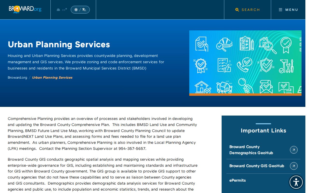
Use this county GIS layer set to identify jurisdiction and context before sending a city or county records request.
The linked GIS page shows where Broward publishes mapping resources, while the captured parcel-map screen below shows the address-centered interface used to move from one folio to the next.
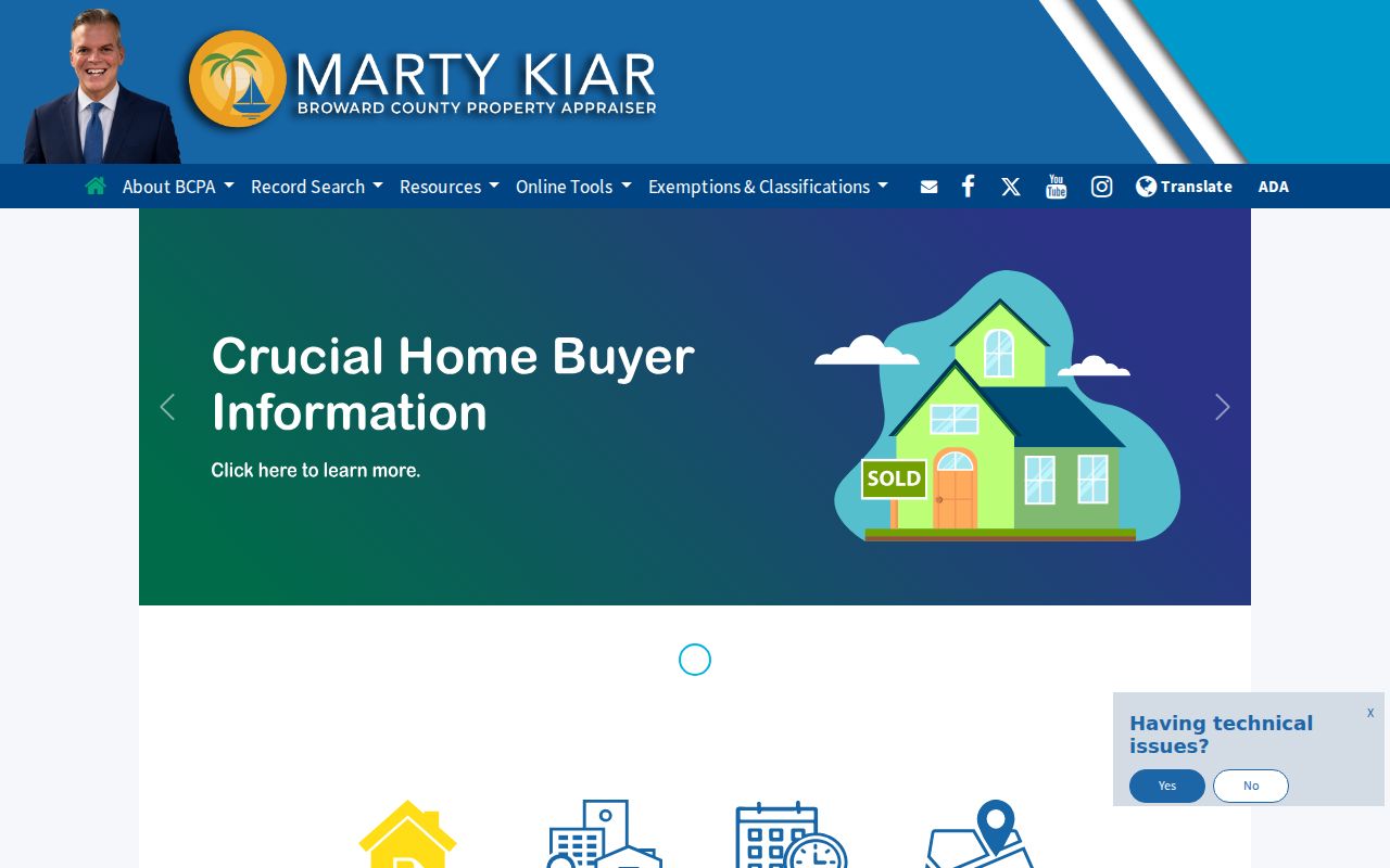
Parcel outlines and record links make this map useful for browsing Broward by street because adjacency is checked from geometry, not assumed from street numbers.
Note: Map layers reflect their own update dates, so record the date viewed before comparing them with deeds, permits, or voter data.
Broward Records Keyed to Streets
Several official sources can be organized by address, but they answer different questions. The strongest address search keeps the keeper, key, and limit beside every result. Permit and code files belong to the municipality that created them, or to Broward County for the unincorporated Broward Municipal Services District. A Fort Lauderdale postal label alone does not settle that jurisdiction.
| Address record | Custodian | Street evidence | Access route |
|---|---|---|---|
| Assessment roll | BCPA | Owner, mailing and situs, folio, exemptions | Free record portal or 954-357-6830 assistance |
| Parcel and county GIS | BCPA and Broward Planning | Lots, adjoining parcels, municipality, ZIP and districts | Free interactive maps and published layers |
| Deeds, liens, plats | Records, Taxes and Treasury | Parties, transfers, legal descriptions, recorded claims | Free index; Search and Copy for older or certified records |
| Registered-voter file | Broward Supervisor of Elections | Nonexempt registered voters by residence address | Electronic request with published charges |
| Permits and code cases | Correct city or Broward BMSD office | Work, notices, named owner or contractor, dates | Municipal portal, clerk, or chapter 119 request |
| Older phone and reverse directories | Broward Main Library Periodicals | Listed adult or subscriber at a number in one year | In person, microform, database, or staff request |
The folio and legal description link the modern roll to recorded title. The normalized street connects permits, voter data, and directories, but each should retain its date. That date prevents an old occupant, prior owner, or stale permit contact from being presented as current.
Turn Broward Owners Into Deeds
The Broward Official Records Search does not begin with a plain street address. That local quirk is why BCPA comes first. Search the printed owner as a party, narrow by deed or other document type and date, then verify the folio or legal description on the instrument. Grantor means the party transferring an interest; grantee means the party receiving it. Mortgages, satisfactions, liens, judgments, probate papers, condominium declarations, declarations of domicile, and notices of commencement can add context without proving who now occupies the site.
The county's web access is layered. Records exist from 1883. Material from March 9, 1972 through July 7, 1977 uses instrument, book and page, type, or date keys; comprehensive name searching begins in mid-1977 or the county's rounded 1978 description. Images generally begin August 24, 1998. Earlier instruments require the Records, Taxes and Treasury Search and Copy counter. Plats and maps remain searchable regardless of date.
A captured county Official Records coverage page summarizes the online and counter split.
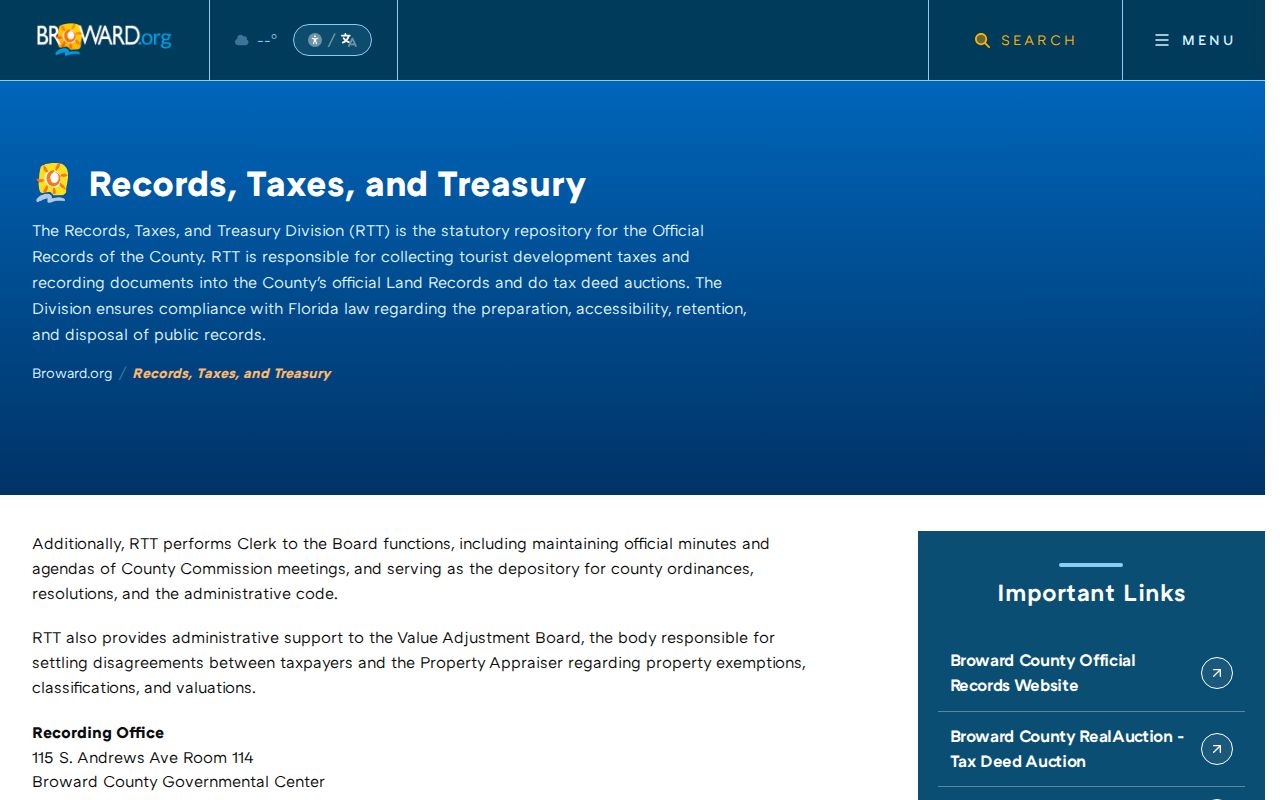
The page reinforces an important street-search rule: an absent web image is not proof that the older instrument does not exist.
Decode Broward Address Terms
Address records use a few terms with narrow meanings. Learning them avoids false matches, especially on numbered streets, private roads, subdivisions, and large condominium sites.
- Parcel or folio
- The assessed unit of land and its Broward identifier. A building may contain many folios.
- Situs address
- The physical property address, unlike the mailing address used for tax notices.
- Plat
- A recorded subdivision map showing lots, blocks, streets, and sometimes easements.
- Legal description
- The title description that identifies land even when its common street name changes.
- Criss-cross directory
- A directory arranged by street and house number rather than only by a person's surname.
Broward streets often depend on compass directions and road types. County address points and street centerlines help normalize those fields. For title continuity, the folio, plat, lot and block are safer than a modern postal label.
Route Broward Street Permit Records
Broward has 31 municipalities plus unincorporated areas. City building departments and code divisions can keep permit address, owner, contractor, work type, value, issue and final dates, inspection events, notices, liens, and disposition. These records document work or enforcement at a site. They do not establish that a named owner or contractor lived there.
First compare BCPA's municipality field with Broward GIS municipal and annexation layers. Then use that city's department portal or clerk request channel. Fort Lauderdale, Hollywood, Pompano Beach, Plantation, and the western cities do not share one countywide permit index. For a Broward Municipal Services District parcel, use the county custodian. If the record is not posted, a focused request under the Broward public-record request portal can route county-created material, while each city clerk handles city-created records.
Note: Annexation can change the permit custodian while the postal city and ZIP remain the same, so match the record year to the boundary history.
Broward Voter Data by Street
The individual Broward voter information lookup requires identifying inputs and is not a street-browse tool. A registered-voter file may instead be requested from the Supervisor of Elections and filtered by residence street. The published pricing lists a $20 search, $6 for a USB device, and Dropbox delivery for files over 10 MB. This is registered-residence evidence for a dated file, not a complete household roster.
Florida Statute section 97.0585 excludes Social Security numbers, driver-license or Florida identification numbers, registration-location data, minors' preregistration data, and signature copies. Other protected addresses may be suppressed under section 119.071 or the Attorney General's Address Confidentiality Program. Never try to reconstruct a hidden residence from another roll.
Key distinction. Ownership and voter registration can support separate conclusions, but neither source lists renters, children, every adult, or all actual occupants.
Read Old Broward Streets Carefully
Historical address work changes with Broward's growth. Fort Lauderdale, Hollywood, and Pompano titles generally precede the later western planned communities. Telephone and reverse directories gain value in the postwar period, while plats, parcel rolls, permits, and association records better describe newer developments. For pre-1915 research, remember that Broward County was formed from parts of Dade and Palm Beach counties, so the relevant land or court trail may sit with a predecessor jurisdiction.
Use older phone directories at Broward Main Library Periodicals by the exact year and street number. Not every phone book has a reverse section. Confirm the title, scope, abbreviation key, and whether apartments are distinct before recording a name. Sanborn maps, plats, legal descriptions, and Historic Buildings Surveys can bridge renamed streets or number changes without guessing.
This historical use is narrower than modern address research. It supplies a listed occupant for a given publication year, then newspapers, census schedules through 1950, deeds, or probate can test that identification.
Limits of Broward Street Directories
No Broward County street directory can show every person at every address. BCPA identifies assessed ownership, not a household. Deeds record transactions. Voter files omit unregistered people and suppress protected data. Directories omit people who were unlisted or outside their coverage. Utility customer data should not be treated as an open roll, and motor-vehicle personal data are restricted by law.
Use the narrowest claim the source permits: “owner on the parcel roll,” “grantee on a recorded deed,” “registered voter in the dated file,” or “listed occupant in the named directory year.” Verify current facts with the custodian. Blank or protected fields remain blank.
Lawful use. Broward address records are for lawful personal research, civic inquiry, genealogy, and property history. Never use them to stalk, harass, intimidate, or harm anyone.