
Broward County ZIP Coverage Regions
Broward County ZIP codes cluster into coastal, central, and western postal regions. The table condenses the working GIS inventory into useful groups. Postal names are search aids only. The USPS ZIP Code Lookup remains the authority for one deliverable address, while Broward GIS supplies the polygon and municipal context.
| ZIP | Areas Covered | Postal Name | Boundary Note |
|---|---|---|---|
| 33004 | Dania Beach and airport or port edges | Dania Beach | Confirm municipal jurisdiction |
| 33008–33009 | Hallandale Beach | Hallandale Beach | 33008 is chiefly PO boxes; 33009 is geographic |
| 33019–33029 | Hollywood, Miramar and Pembroke Pines areas | Often Hollywood | Several codes cross municipal contexts |
| 33060–33077 | Pompano Beach, north coast and northwest cities | Often Pompano Beach | Includes mixed and PO-box-oriented codes |
| 33301–33317 | Fort Lauderdale core and nearby municipalities | Fort Lauderdale | Postal name can mask Wilton Manors or Oakland Park |
| 33319–33334, 33351 | Central and western Broward | Often Fort Lauderdale | ZIP alone does not establish municipality |
| 33441–33442 | East and west Deerfield Beach | Deerfield Beach | Northern county near Palm Beach postal geography |
The full Broward County postal inventory also includes codes that should not be treated as neighborhood polygons. Examples include PO-box codes 33302, 33303, 33307, 33310, 33318, 33320, and 33329, plus special or unique codes such as 33388 and 33394. Current USPS verification is essential because service classifications can change.
Verify Broward County ZIP Codes
USPS provides two distinct checks: an address-to-ZIP search and a city-and-state ZIP search. Enter the complete delivery address, including unit where needed, and use the returned postal city and ZIP as delivery data. Do not replace the municipality or parcel jurisdiction with that postal label.
| USPS input | Use | Limit |
|---|---|---|
| Street address, city and state | Confirms ZIP and standard address form | Does not establish city limits |
| City and state | Lists ZIP codes linked to a postal city | Can include several municipalities |
| ZIP code | Checks associated postal city names | Does not define a neighborhood |
The official USPS lookup screen is the required first check for a specific address.
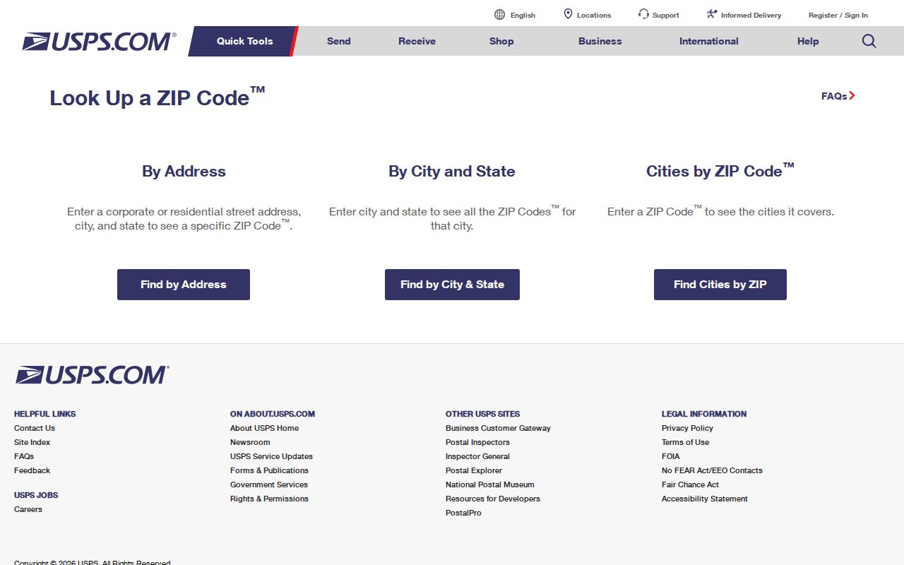
The lookup confirms mail routing. Broward County GIS and BCPA then determine the parcel, city, district, and custodian that apply to the same address.
Broward County ZIP Directory Patterns
The 330xx codes cover much of southern and northern Broward. Hollywood postal names stretch across West Park, Miramar, Pembroke Pines, Davie, and Cooper City contexts. Pompano Beach labels appear across Lighthouse Point, Coconut Creek, Margate, Coral Springs, North Lauderdale, and Parkland areas. A city name in a search result is therefore not a safe municipal-routing rule.
The 333xx group centers on Fort Lauderdale but reaches Lauderhill, Plantation, Sunrise, Davie, Tamarac, Weston, Southwest Ranches, and other nearby jurisdictions. Downtown 33301 contains the county seat and government center. Western codes such as 33330 through 33332 cover large-lot and planned communities where parcel and annexation layers matter more than the mailing city.
Find Broward Residents by ZIP
A Broward County postal directory narrows geography, but no official source provides a complete list of people living inside each code. Use a sequence of sources, and keep each result in its proper role.
- Verify a known address with USPS. Keep the standardized postal city and ZIP.
- Open Broward GIS to compare the ZIP polygon with the municipal, annexation, and district layers.
- Use BCPA by exact address or folio. The portal is stronger by parcel than by a documented countywide ZIP filter.
- For voter research, request a lawful geography selection from Broward Elections. Protected fields and voters remain absent.
- Search a ZIP-capable official registry only for its stated purpose, then verify any person through an independent record.
Once the postal area narrows to a road, the Broward County street directory explains the address and parcel chain. That workflow is more precise than trying to infer households from a broad ZIP.
Map Broward County ZIP Geography
Broward County GIS and Maps publishes ZIP boundaries alongside address points, street centerlines, municipalities, annexation history, districts, flood areas, and planning layers. Use the ZIP polygon for geographic analysis, then click or compare the municipal layer before requesting permits or code files. County records should not be asked to supply a city-created record.
Recent Broward GIS work for 2025–2026 includes ZIP Code Profile Dashboards and ZIP-filtered homeownership characteristics. These are useful statistical views, not individual resident lists. The distinction matters in a county of more than 1.9 million people, where one alphabetical roll would hide more than it reveals.
Note: Annexation can change the permit or code custodian while the address keeps the same ZIP code and postal city.
Search Broward Filings by ZIP
Florida's Sunbiz system accepts ZIP code and street-address searches for corporations and other filed entities. A result can show legal name, document number, status, principal and mailing addresses, registered agent, officers or managers, and annual-report images. These are filed organizational roles. They do not prove that a named person resides at the business address.
The DBPR License Search adds profession, license type, status, location, and related public details.
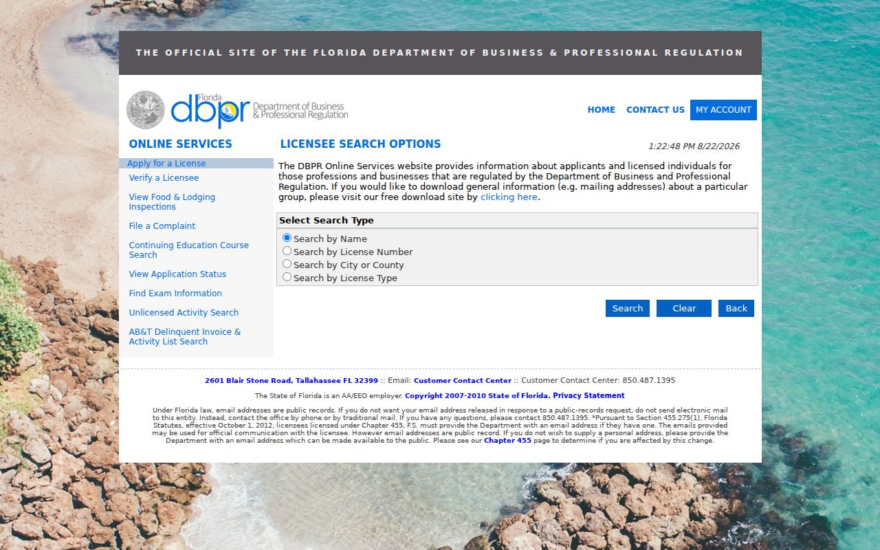
The screen supports a role or license check after a ZIP search, but a matching postal code is not enough to establish identity or residence.
Health professionals use the Florida MQA search, which can confirm a public license and practice location.
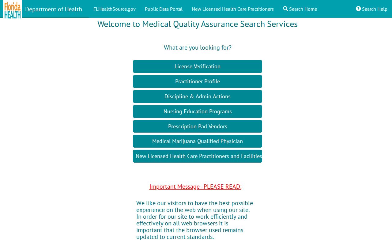
Record the license number and profession, then compare the middle name and geography. A similarly named licensee elsewhere in Florida is not a Broward County resident finding.
Broward ZIP Code Search Traps
Directional prefixes and road types matter in Broward address searches. Condominium unit changes, older rural-route wording, road renaming, and gated private streets can break a text match. Bridge those changes with the BCPA folio, recorded plat, legal description, and a map from the same period.
Seasonal and condominium ownership also makes mailing and situs addresses easy to confuse. An out-of-county tax address may belong to a seasonal owner, trust, or manager. It does not name the occupant. Port Everglades, airport lands, waterways, and municipal edges create more exceptions, so the postal directory should be treated as a filter, not a household roster.
Broward ZIPs Versus City Limits
A Fort Lauderdale postal label can fall in Oakland Park, Wilton Manors, or an unincorporated area. Hollywood and Pompano Beach labels likewise span several municipal settings. USPS decides delivery routing; Broward GIS establishes mapped municipal context; BCPA identifies the parcel; the legal description keeps title continuity. Use all four when jurisdiction matters.
- ZIP and ZIP+4
- A ZIP groups delivery areas. The added four digits narrow mail routing to a smaller segment, building, or group.
- PO-box ZIP
- A code used chiefly for post office boxes rather than a neighborhood-shaped delivery area.
- Unique ZIP
- A code assigned to one large organization or institution, not a general residential district.
- Carrier route
- A postal delivery path inside a ZIP. It is operational mail geography, not a city or parcel boundary.
Boundary rule. Use USPS for delivery, county GIS for jurisdiction, and the parcel folio for property identity. Never infer a municipality or resident from ZIP alone.
The Broward County ZIP code directory is most useful as the first layer of a search. Exact addresses, folios, and source-specific records supply the proof. Return to the postal inventory whenever a postal city and mapped jurisdiction conflict.